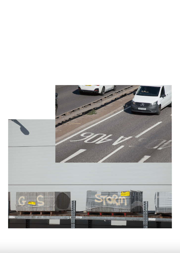
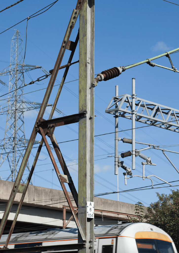
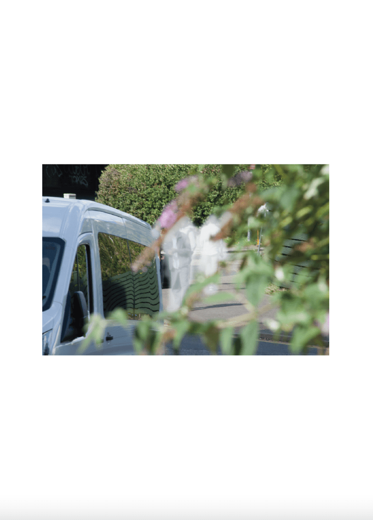
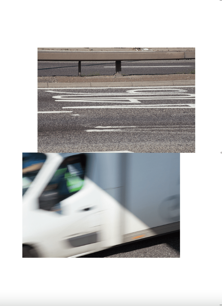
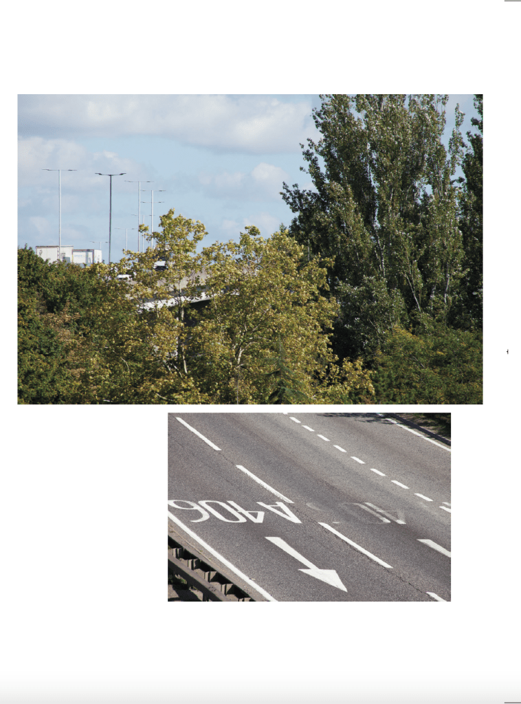
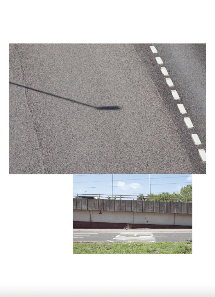
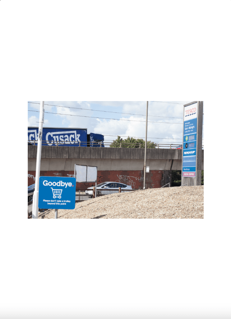
The North Circular Road – officially the A406, though often referred to simply as the North Circular – is a 25.7 mile (41.4 km) ring road skirting the northern half of Central London. Running from Chiswick in the west to North Woolwich in the east, it weaves through suburban North London, linking neighbourhoods and major trunk roads. Together with its southern counterpart, the South Circular Road, it forms a loose orbital route around London – interrupted only by the River Thames, which it crosses via the Woolwich Ferry. Constructed during the Interwar period to connect local industrial hubs and help traffic bypass Central London, the A406 was significantly upgraded after World War II. At one time, it was earmarked to become a full-scale motorway under the ambitious but ultimately abandoned London Ringways scheme. In the early 1990s, the eastern stretch was extended to bypass Barking and connect with the A13 north of Woolwich – though it never achieved a direct ferry link. A key part of this evolution, the South Woodford to Barking Relief Road (between the M11 and A13), opened in 1987. Previously, the A406 followed Southend Road and Woodford Avenue as far as Gants Hill. Today, it veers south at the Redbridge Roundabout. passing over Eastern Avenue (A12) and following a route past Romford Road (the old Roman Road to Colchester), skirting Ilford and Barking, and ending at a roundabout with the A13 in Beckton.
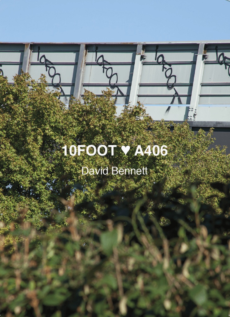
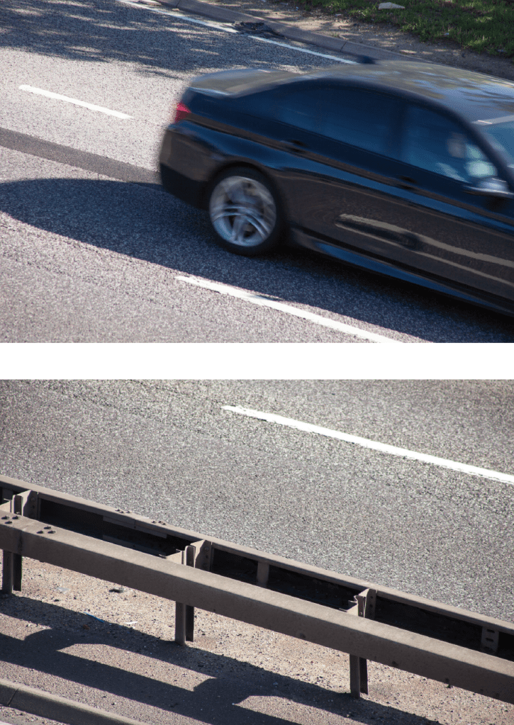
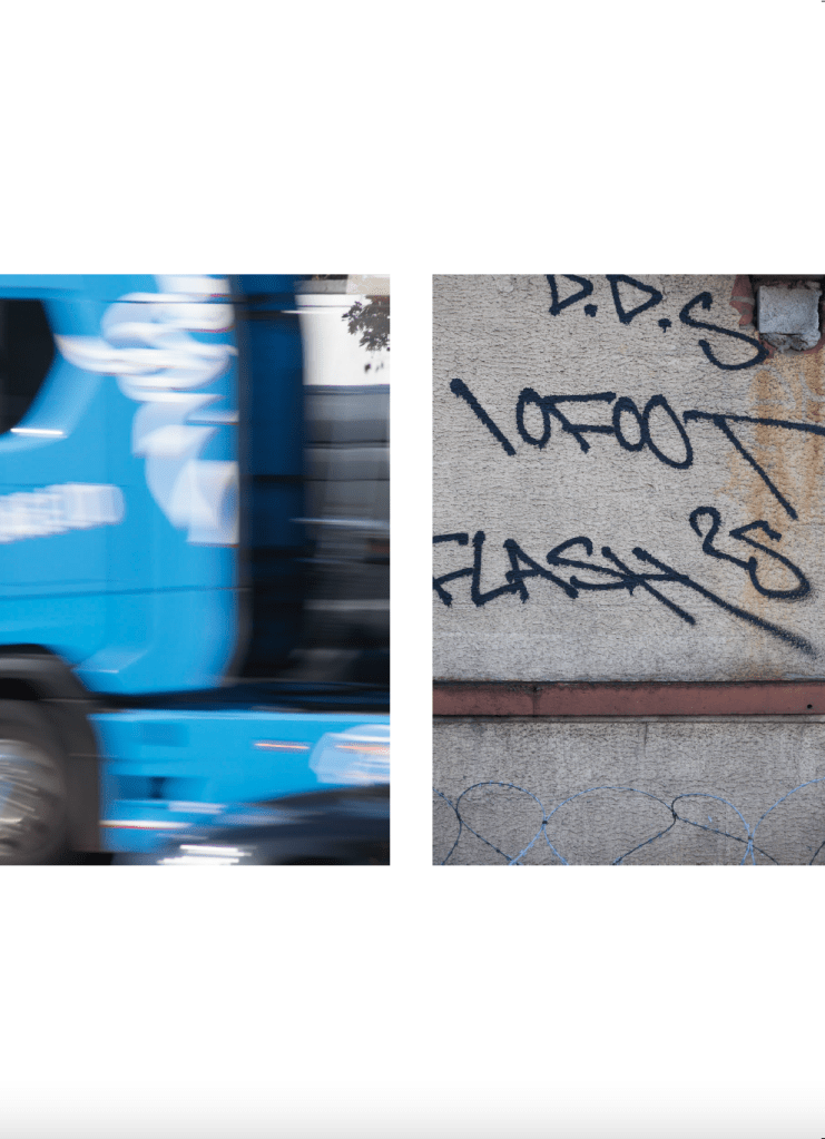
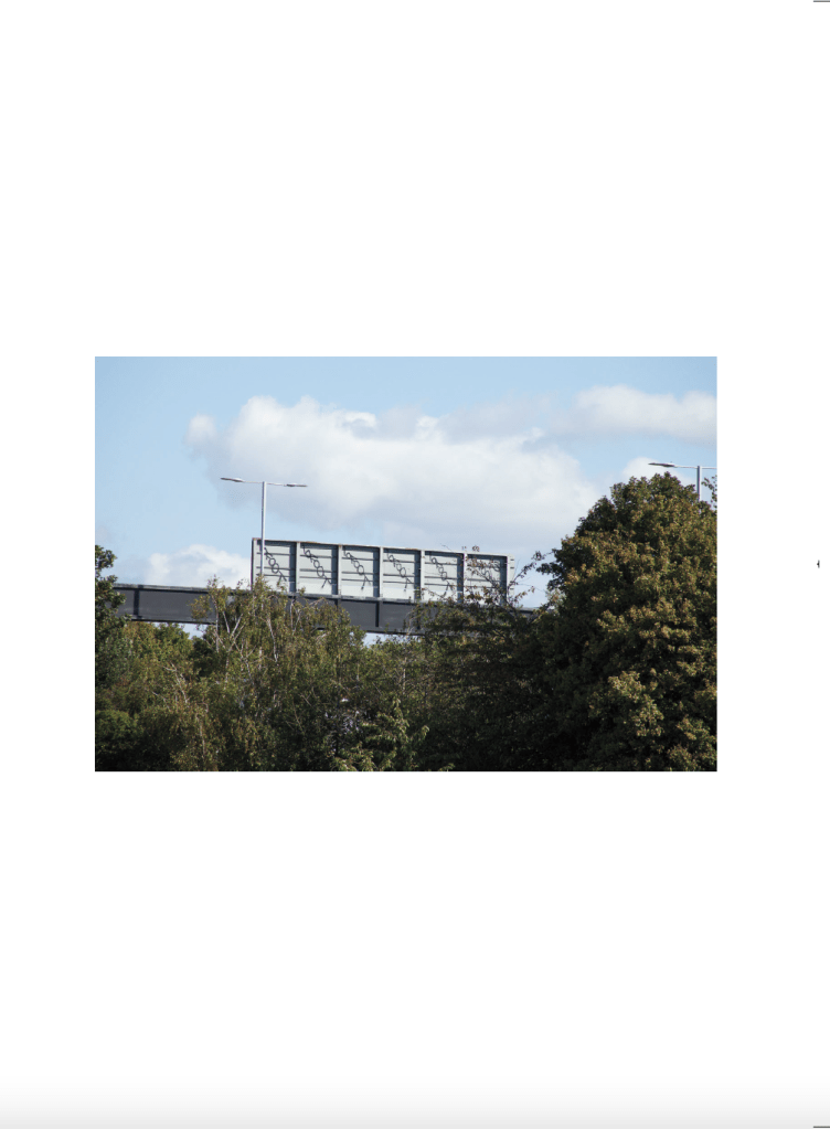
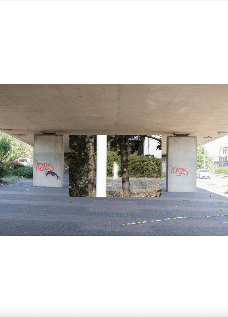
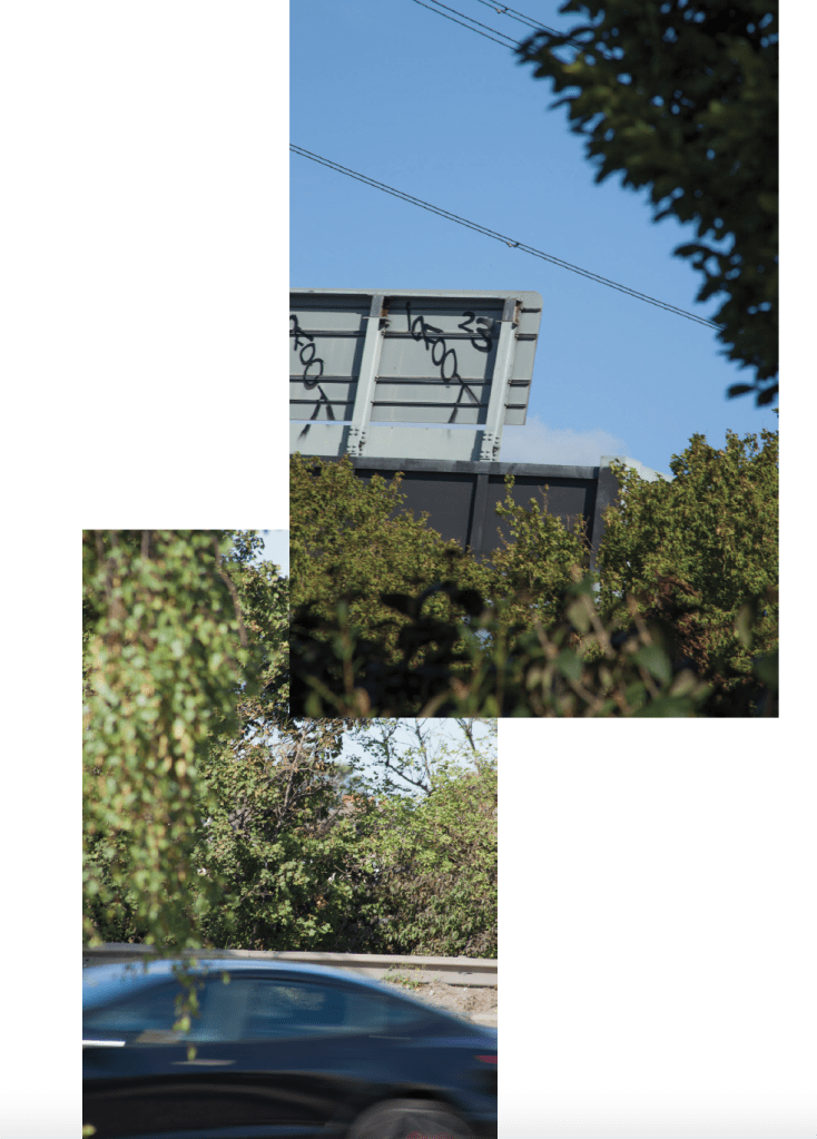
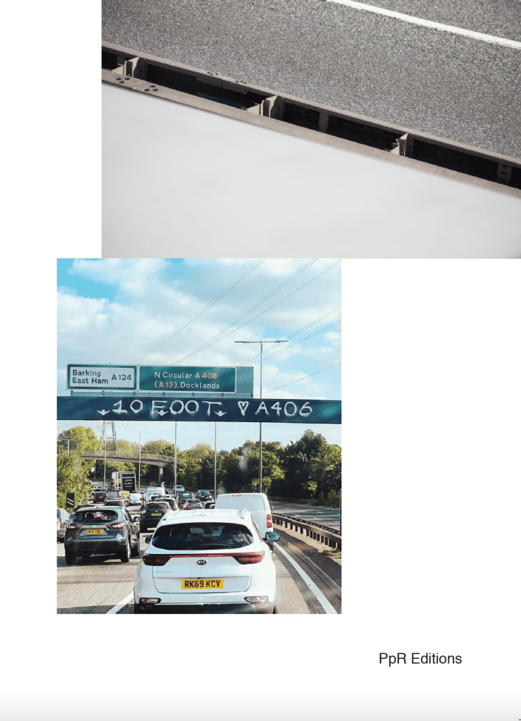
For several years, I drove daily beneath a gantry on the A406 between Ilford and Barking that bore the spray-painted words “10FOOT LOVES A406”. Like much of 10FOOT’s work, the tag was unmissable . But here – suspended high above three lanes of roaring traffic – it carried an unexpected poignancy. As it approached, I’d brace slightly, then glide under it, often checking my rear-view mirror to glimpse the tag’s reverse one last time. There was something ritualistic about it. Always a small jolt of awareness – of place, time, speed. Always accompanied by sound (and silence): sometimes the Today programme on Radio 4, David Sylvian or another musical selection, sometimes the drone of traffic, or the familiar voice of Google Maps Karen – the GPS girl.
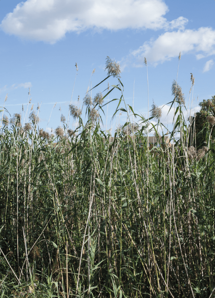
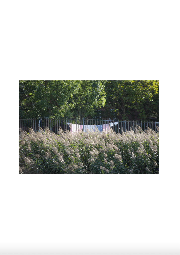
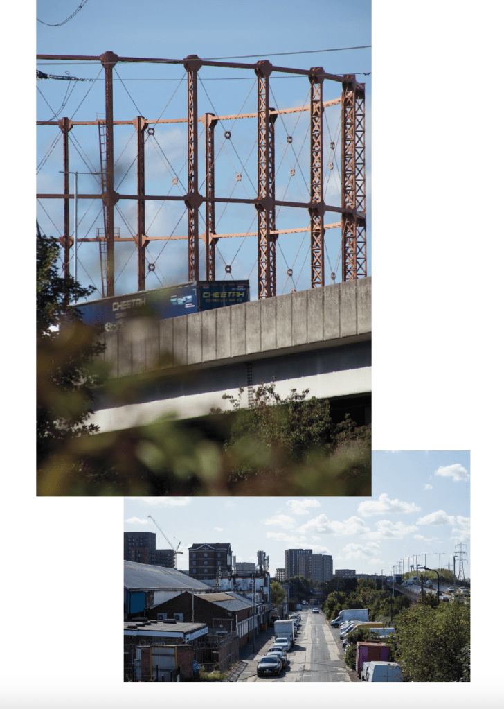
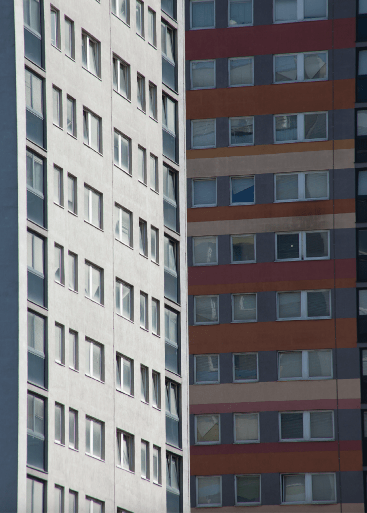
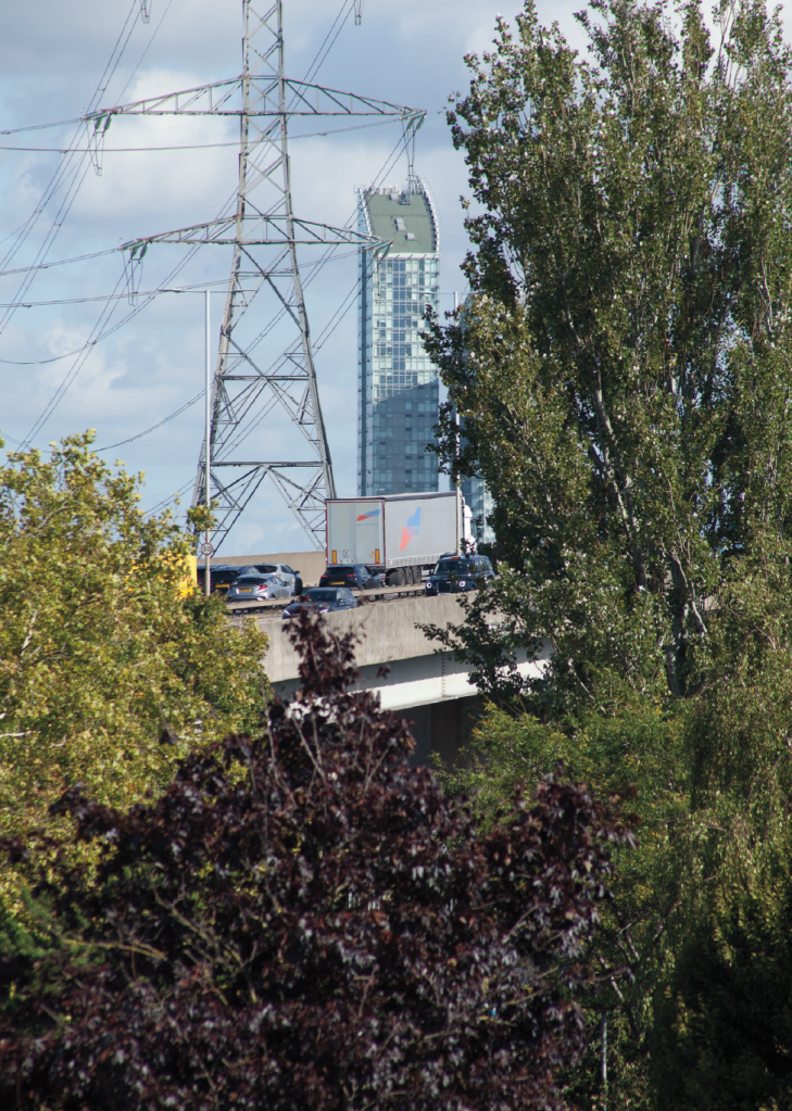
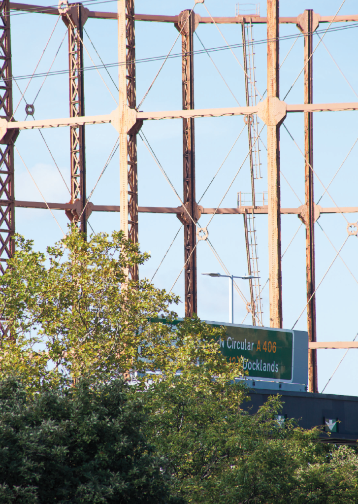
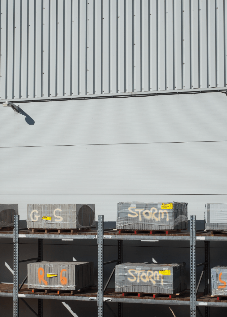
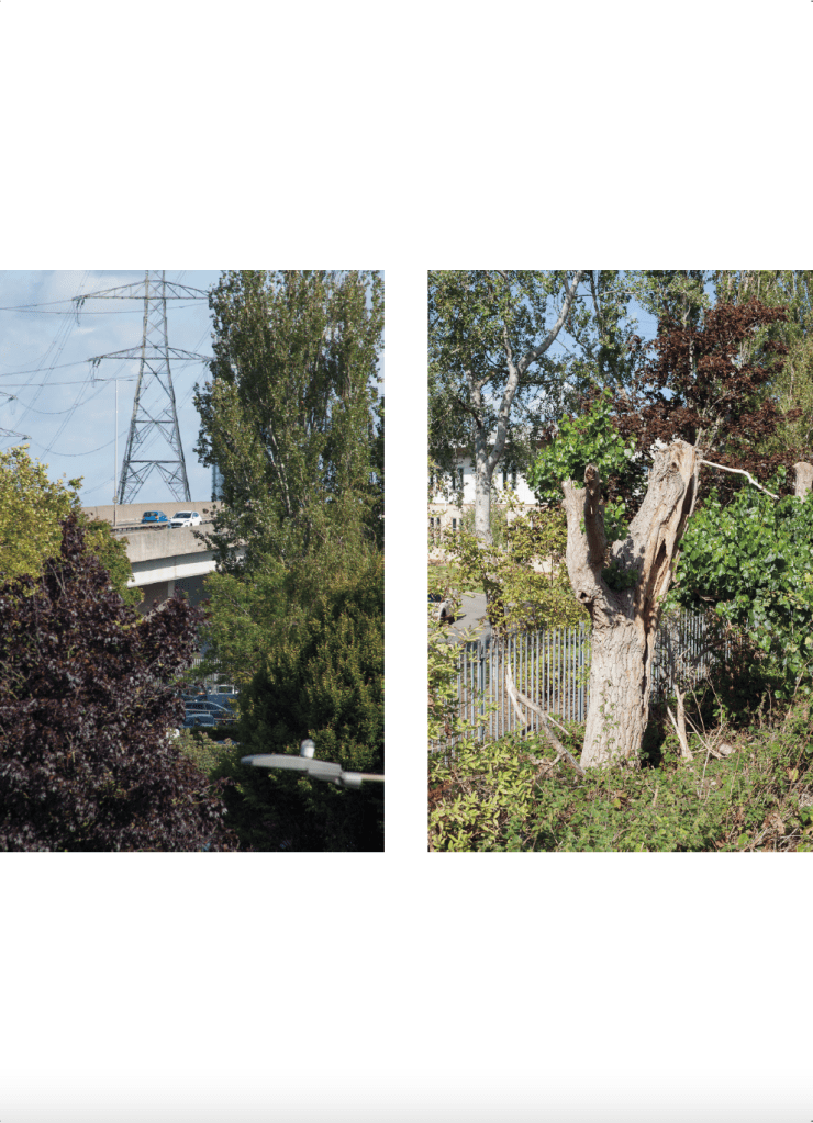
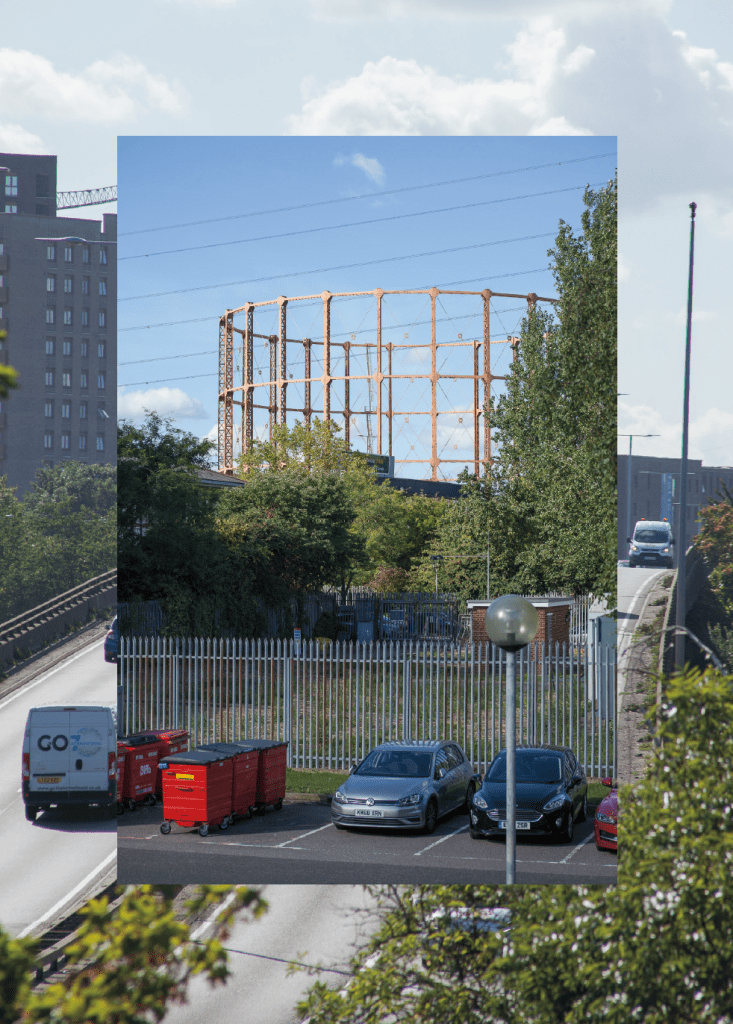
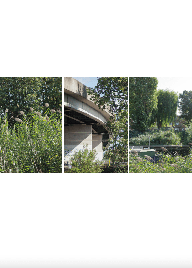
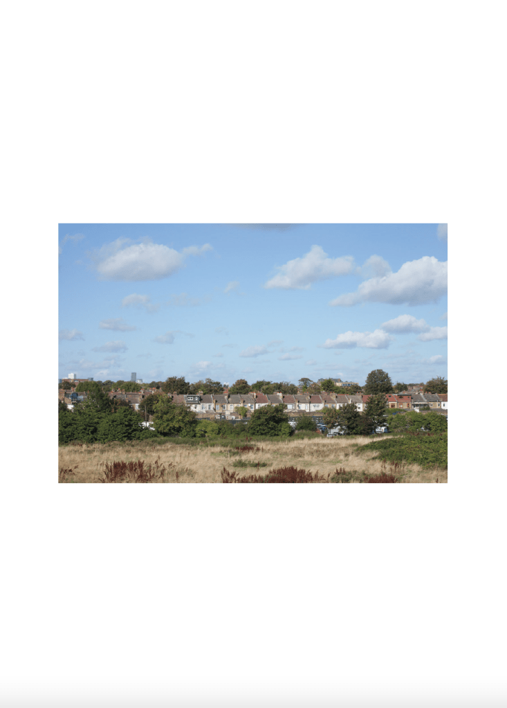
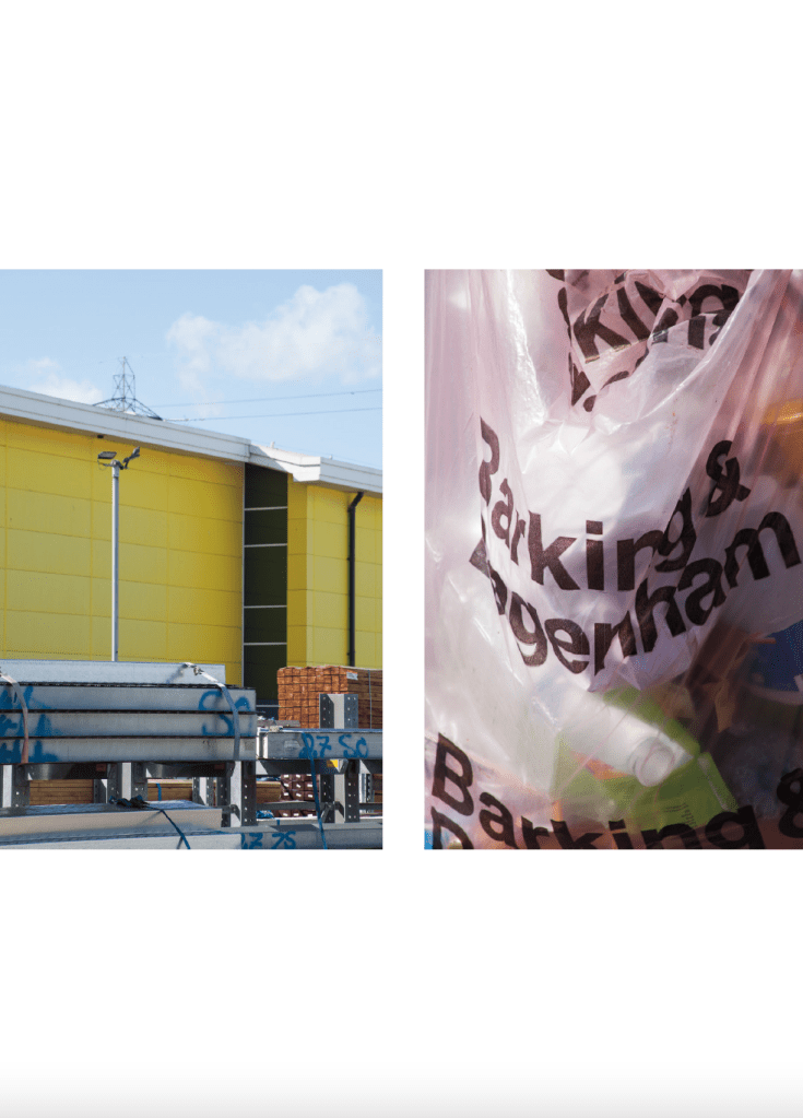
When I finally set out to make this body of work in September 2025 – a project I’d been planning for a number of years – the tag was gone. Erased. I circled this section of the A406 twice, hoping I’d missed it. But it had vanished, scrubbed clean from the metal gantry above. That gantry had become a quiet landmark for me. To its right: a fenced-off former sports ground, now inaccessible to the public, dominated by a colossal gasholder – still visible from the road. Old London A-Z maps show it in its heyday: a site with tennis courts, bowling green, and pavilions arranged like a postcard around the gas structure. Now, all that remains is razor-wire fencing and signs warning trespassers to keep out. To the left lies a starkly different scene: the industrial and often chaotic Roding Trading Estate. Here, a Wickes superstore shares space with other industrial units, and men loiter near the entrance hoping for cash-in-hand work. On the trading estate’s main road, furniture and rubbish are routinely dumped on pavements, and the bushes offer cover for those seeking temporary refuge. Yet, just beyond this grim man-made sprawl, a parallel world exists. The River Roding – stretching 50 kilometres from Molehill Green in Essex to the Thames at Barking Creek – flows quietly past. Unkempt and overgrown in places, its banks are home to paddocks, fine trees, and pockets of dried wetland. On one side rise new-build tower blocks and the old Victorian Thames Water works; on the other, the ceaseless rhythm of the A406.
The work is not concerned with graffiti or roads. It’s about how moments – ephemeral, defiant, sometimes illegal – embed themselves in place and memory. 10FOOT LOVES A406 wasn’t just a tag. It was a declaration. A note in the noise. A note in the silence. A private reminder made public, across six lanes of city life. Now that it’s gone, it echoes even louder.
 David Bennett Photographer